We were up early as the bright sunshine made its way into our tent. It’s a big difference from sleeping in the trailer! Carrie got breakfast together and we both witnessed a chipmunk climb up into the front part of our car! Note: it is not possible to look sane when trying to drive out a chipmunk from your car.
After the chipmunk vacated and we polished off our breakfast, we were in the car and up the road to the Devil’s Causeway trailhead. As with most of our stops we thought the trail would be popular enough to be labeled, however we were wrong. We decided to ask someone instead of spending who knows how much time wondering around looking for the trail. We asked a man that was there to fish, and he directed us to the trail, but not before scolding us about not having a map. Not the first time this has happened to me! With that aside, we continued on and found the trailhead and low and behold there was a box that contained…maps! Thanks God!
Now once we had our map we set off on the correct trail, or at least so we thought. There was some doubt because we wanted to hike the Devil’s Causeway trail but on the map the trails were labeled by number, not names! Awesome!
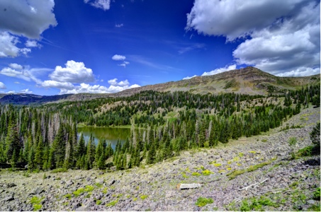
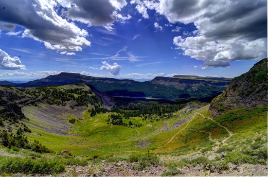
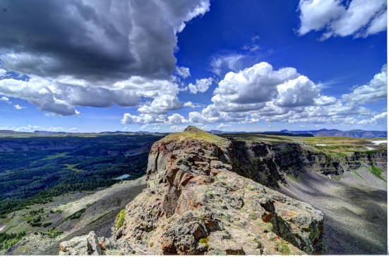
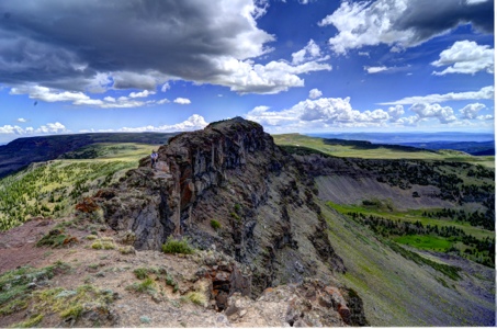
As we hiked along, the trail continued to get steeper and steeper until we found ourselves switch backing to the top of a ridge. We were so close we could feel it! As the last section changed from switch backs into a more direct approach we had no choice but to press on. Once on top we knew it was all downhill from here (literally). As we walked further the ridge got narrower. I started to get excited! This was it, where the trail gets its name! And there it was, right in front of me, a jagged, narrow ridge no more that 3-4 feet wide with a significant drop off on either side. So worth the hike up!
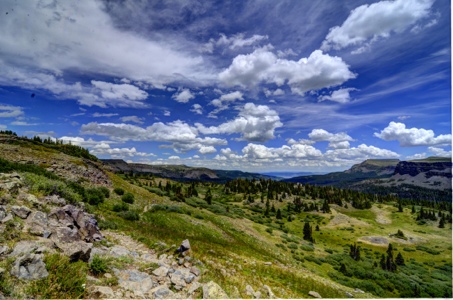
After we safely passed this section the rest of the hike was tame, in fact easy. The ridge got wider and transformed into an open plane, we were in the ‘flat top’ mountains. As we followed the narrow clay ditch of a trail surrounded by grasslands, we noticed some sheep grazing in the distance. For some sections of the 6 mile loop we had to use our rain jackets as hail and rain pelted us.
After a few more hours of hiking and dodging the horse poop on the trail, we reached the car. As we drove off to our next destination we made a quick stop at Qdoba to refresh ourselves. The drive through Glenwood Canyon was breathtaking. It was beautiful, so beautiful that Carrie had to keep reminding me that I was driving.
Our next stop was called Crystal Mill. It is an old mill way back in the woods, that was built along the Crystal River in 1893. On our way there we passed though a town called Marble. Have any idea of what they are known for? Well I must say, they did a good job displaying the huge slabs of marble in their front yards (even though most landscapers might not agree).
While looking for the trail we asked some folks who were fishing if they knew of a place where we could camp for the night. They were very nice and suggested that we pitch our tent at the ball park in town. I know what you are thinking, I thought the same thing. However, when we got to the “ball park” we noticed that it was no more than a small open field. We set up camp and it couldn’t have been more perfect!
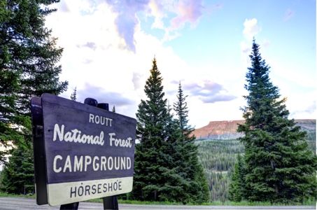

We have a place near Devil’s Causeway. I love the photos you took. Would you grant me permission to use some of your photos on our website?
LikeLike
Definately, go for it!
LikeLike